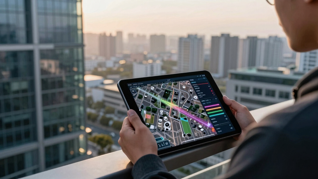

📊 Full opportunity report: The Eye Over The City: How Wide-Area Motion Imagery Works — And Where It Goes Blind on ThorstenMeyerAI.com — validation score, market gap, and execution plan.
Listen free for 30 days with Audible
Thousands of audiobooks and originals — cancel anytime.
Start your free trialAs an affiliate, we earn on qualifying purchases.
TL;DR
Wide-Area Motion Imagery (WAMI) allows for city-wide, real-time surveillance by capturing gigapixel images of entire urban areas. This technology, combined with AI, offers unprecedented tracking and forensic capabilities but faces physical and operational limits.
Wide-Area Motion Imagery (WAMI) is transforming urban surveillance by enabling real-time, city-wide tracking of vehicles and pedestrians. This technology allows analysts to record and rewind extensive footage, providing a forensic capability that surpasses traditional cameras. Its deployment across military, border security, and civilian applications underscores its growing importance in security infrastructure.
WAMI systems fuse multiple cameras into a single, gigapixel image that covers several square kilometers, capturing every moving object within the area. The imagery is processed through sophisticated pipelines that stabilize, detect movement, track objects frame-by-frame, and archive data for later review. The most advanced systems, like DARPA’s ARGUS-IS, use hundreds of cameras to produce resolutions capable of identifying objects as small as six inches from high altitudes.
Operationally, WAMI is mounted on aircraft such as drones, manned planes, or tethered platforms, enabling persistent, wide-area coverage. Its primary use cases include military reconnaissance, border security, wildfire mapping, and disaster response. However, the system’s optical nature makes it vulnerable to weather conditions like fog, smoke, and darkness, limiting its effectiveness under certain environmental conditions.
Despite its capabilities, WAMI is not a standalone solution. It is complemented by synthetic aperture radar (SAR), which can see through weather obscurants and operate in denied or contested airspace. Combining optical and radar sensors, known as layered sensing, allows for comprehensive coverage across different operational environments, each addressing the other’s limitations.
The eye over the city: how Wide-Area Motion Imagery works — and where it goes blind
A normal drone sees through a soda straw. WAMI watches an entire city at once, tracks every mover, and records it all for forensic rewind. Immense reach — with hard limits that make radar and AI its necessary partners.
- City-scale motion, fine detail
- Forensic rewind
- Cloud / smoke / dark degrade it
- Needs a platform loitering overhead
sensing
+ AI
- Sees through cloud & total dark
- Tasked over denied airspace
- Persistent, wide-area from orbit
- Sovereign · on-prem · air-gap
The same archive that traces a bomber to a safe house can trace anyone home — retroactively, without prior suspicion. Baltimore’s secret 2016 deployment led to a 2021 federal ruling that persistent aerial tracking violated the Fourth Amendment. The security value is real; so is the mass-surveillance risk. Who owns the sensor, the archive, and the AI is the accountability question.
WAMI’s power is the archive and the AI reading it; its weakness is weather, airspace, and oversight. The mature posture isn’t optical-vs-radar or capability-vs-liberty — it’s layered sensing (optical WAMI + all-weather SAR), AI-enabled exploitation, and sovereign, auditable control of the whole chain. WAMI shows what a persistent eye can do with clear skies and owned airspace; for the cloud, the night, and the denied area, the radar layer is where the resilient coverage lives.
Implications of WAMI for Security and Privacy
The ability to monitor entire urban areas in real-time and archive detailed footage has significant implications for national security, law enforcement, and civil liberties. WAMI’s forensic capabilities can identify suspects and track movements over extended periods, enhancing tactical responses. However, its extensive surveillance reach raises governance and privacy concerns, prompting legal debates and the need for oversight.
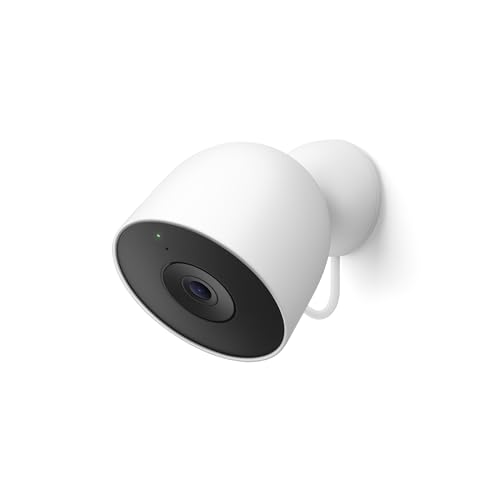
Google Nest Cam Outdoor (Wired, 2nd Gen) – Security Camera – 2025 – Snow
- High-Resolution 2K HDR Video: Sharper outdoor surveillance with HDR quality
- Gemini Features with Subscription: Advanced detection and alerts (requires subscription)
- Always-On Power Supply: Continuous power without recharging or batteries
As an affiliate, we earn on qualifying purchases.
As an affiliate, we earn on qualifying purchases.
Evolution and Deployment of WAMI Technology
WAMI’s origins trace back to early 2000s projects like Lawrence Livermore’s Sonoma program, transitioning to military use with systems like DARPA’s ARGUS-IS and the US Air Force’s Gorgon Stare. These systems have progressively shrunk in size and expanded in deployment, from experimental rigs to widespread use on drones and aircraft in Iraq, Afghanistan, and domestic applications like wildfire mapping and disaster response. The technology’s evolution reflects ongoing efforts to balance surveillance capabilities with operational constraints.
“WAMI’s combination of extensive coverage and archival capability makes it a game-changer in urban surveillance, but it depends heavily on AI for data processing.”
— Thorsten Meyer, AI researcher
As an affiliate, we earn on qualifying purchases.
Operational and Ethical Challenges of WAMI Use
While WAMI’s technical capabilities are well-documented, questions remain about its deployment limits in contested airspace, environmental conditions, and the legal frameworks governing its use. The extent of oversight and potential privacy implications are still under debate, with ongoing legal and policy discussions.

DroneMobile XC-LTE 2K QHD 1440p 30fps Dash Cam with XC-RC1 Rear Camera – Ideal for Car Security and Surveillance
- Security Sensors: Dual shock and glass-break sensors with alarm
- High-Resolution Recording: 2K QHD 1440p at 30fps with IMX335 sensor
- Live Streaming: LTE and Wi-Fi live streaming with parking modes
As an affiliate, we earn on qualifying purchases.
As an affiliate, we earn on qualifying purchases.
Future Developments in WAMI and Sensor Fusion
Advancements are expected in sensor miniaturization, AI-driven data analysis, and integration with other modalities like SAR. Research continues into overcoming weather limitations and reducing operational costs. Policy frameworks and oversight mechanisms are also likely to evolve to address privacy and governance concerns as WAMI becomes more widespread.
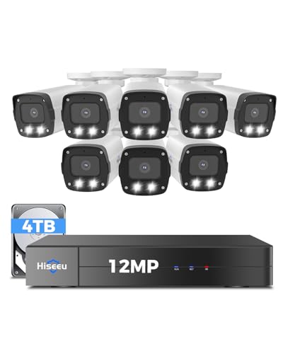
Hiseeu 12MP PoE Security Camera System, 8 Pcs PoE Cameras
- Ultra HD 12MP Resolution: Vivid day and night recording
- Expandable 16-Channel System: Connect up to 16 cameras with extra switch
- 121° Wide-Angle Lens: Wider view to reduce blind spots
As an affiliate, we earn on qualifying purchases.
As an affiliate, we earn on qualifying purchases.
Key Questions
How does WAMI differ from traditional surveillance cameras?
WAMI captures city-wide, high-resolution imagery covering several square kilometers simultaneously, unlike traditional cameras that focus on narrow fields of view. It also archives footage for rewind and forensic analysis, which standard cameras do not typically do.
What are the main limitations of WAMI technology?
WAMI relies on optical sensors, which are affected by weather conditions like fog, smoke, and darkness. It also requires platforms to loiter overhead, which can be contested or denied, and it generates enormous data volumes that require AI for processing.
Why is WAMI considered a threat to privacy?
Because it can monitor entire urban areas continuously and archive detailed movement data, raising concerns about mass surveillance and civil liberties, especially if used without proper oversight.
How does WAMI integrate with other sensing modalities?
WAMI is often paired with synthetic aperture radar (SAR) to provide all-weather, day-and-night coverage. This layered sensing approach helps address each system’s limitations, offering a more comprehensive surveillance solution.
What are the next steps for WAMI technology development?
Future efforts focus on miniaturization, AI-enhanced analysis, weather resilience, and establishing legal frameworks to govern use and protect privacy rights.
Source: ThorstenMeyerAI.com
Baby shower & registry season Picks
baby registry must-haves
As an affiliate, we earn on qualifying purchases.